Unlocking Precision: How Agricultural Mapping Revolutionizes Smart Farming
Agricultural Mapping sector is undergoing a significant transformation, driven by technological advancements and a growing need for efficiency and sustainability. Smart agriculture, a concept that integrates data-driven decision-making with advanced technologies, is rapidly changing the way we farm. Within this framework, agricultural mapping emerges as a critical tool, empowering farmers with a detailed digital blueprint of their land.
Contents
Introduction to Agricultural Mapping
Agricultural mapping utilizes various technologies like GPS, satellite imagery, and Geographic Information Systems (GIS) to create digital representations of farmlands. These maps capture a wealth of information, including soil composition, topography, historical yield data, and real-time environmental conditions. With this information readily available, farmers can make informed decisions, optimizing resource utilization and maximizing crop yields.
Benefits of Agricultural Mapping for Smart Farming
Agricultural mapping offers a multitude of benefits for those practicing smart agriculture. Let’s delve deeper into some key advantages:
- Precision Planning and Seeding: Maps reveal intricate details about soil quality, fertility, and historical yield data across different field zones. This allows for the creation of customized planting plans, tailoring seed selection, fertilizer application, and irrigation strategies to specific areas. This targeted approach optimizes resource allocation, reduces waste, and boosts overall yield potential.
- Improved Field Management: Real-time data from sensors deployed across the farm can be integrated with agricultural maps. This provides farmers with insights into soil moisture levels, crop health, and potential pest outbreaks. Early detection enables proactive interventions, such as irrigation adjustments and targeted pest control, leading to healthier crops and minimized losses.
- Enhanced Resource Efficiency: Mapping helps identify areas with specific needs, allowing for precise application of resources like water and fertilizers. This reduces over-application, minimizing environmental pollution and optimizing resource utilization. For instance, irrigation maps based on soil moisture data can ensure water is only applied to areas requiring it, leading to significant water savings.
- Streamlined Farm Operations: Digital maps facilitate better farm layout planning, optimizing field boundaries and access routes for machinery. This translates to improved efficiency during planting, harvesting, and other field operations, minimizing wasted time and fuel consumption.
- Data-Driven Decision Making: Agricultural maps serve as a central hub for all farm-related data. This comprehensive digital record empowers farmers to analyze trends, track progress, and make data-driven decisions for the future. Historical yield data combined with soil analysis can guide selection of optimal crop varieties for specific fields, leading to long-term improvements in overall farm productivity.
Types of Agricultural Maps
The specific type of agricultural map employed depends on the information being sought. Here are some of the most commonly used ones:
- Soil Maps: These maps depict the composition and fertility of different soil zones across the farm. This information is crucial for determining appropriate fertilizer application rates and selecting crops best suited to the soil type.
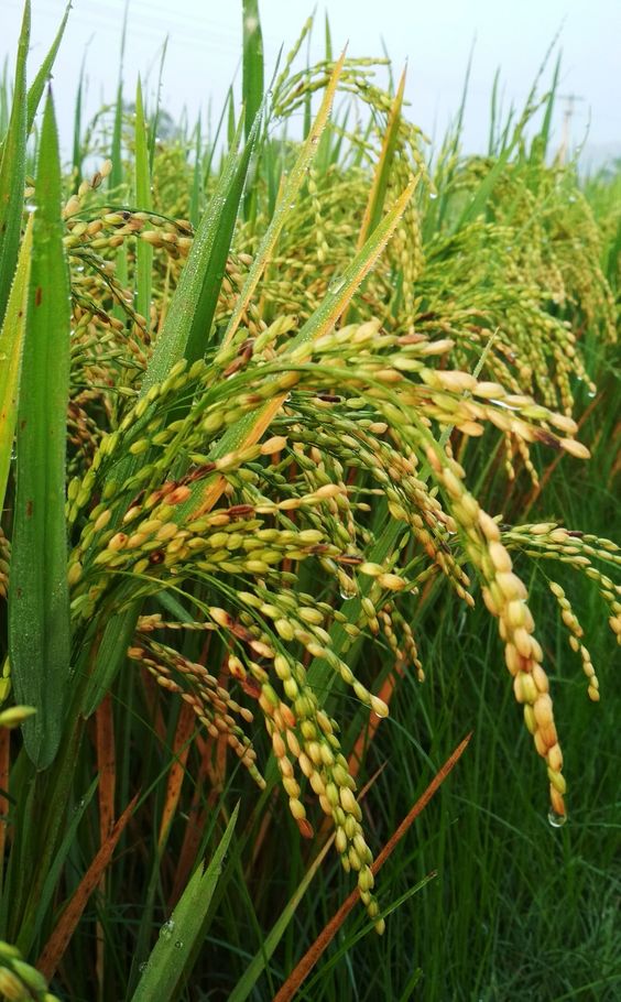
- Yield Maps: These maps illustrate historical yield data across different field sections. Analyzing these maps helps identify areas with consistently lower yields, potentially indicating underlying soil issues or unsuitable crop choices.
- Elevation Maps: These maps depict the topography of the farmland, highlighting slopes and drainage patterns. This information is vital for planning irrigation systems, preventing soil erosion, and ensuring optimal crop placement.
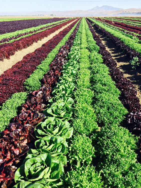
- Vegetation Maps: These maps utilize satellite imagery to assess crop health and identify areas with potential stress or disease outbreaks. Early detection allows for timely intervention, minimizing crop damage and potential yield losses.
- Zone Management Maps: These maps combine data from various other maps, dividing the farm into distinct zones based on factors like soil quality, slope, and historical yield data. This allows for a highly targeted approach to resource allocation and crop selection across different zones within the same farm.
Integrating Agricultural Mapping with Smart Farming Technologies
To fully harness the potential of agricultural mapping, it needs to be integrated with other smart farming technologies. Here’s how these technologies work in conjunction with agricultural maps:
- Sensors: Sensors deployed across the farm collect real-time data on soil moisture, temperature, and nutrient levels. This data is then overlaid on the agricultural map, providing farmers with a dynamic view of their fields.
- Drones: Equipped with high-resolution cameras and multispectral sensors, drones can capture detailed aerial imagery of farmlands. This imagery is used to create vegetation maps, identify areas of crop stress, and monitor plant growth throughout the season.
- Variable Rate Technology (VRT): VRT utilizes farm machinery equipped with GPS and map data to adjust fertilizer application rates and irrigation levels based on specific field zones. This ensures targeted resource application, maximizing efficiency and minimizing waste.
- Farm Management Software: This software serves as a central hub for all farm data, including information from sensors, drones, and agricultural maps. It allows farmers to visualize data in various formats, analyze trends, and generate reports